
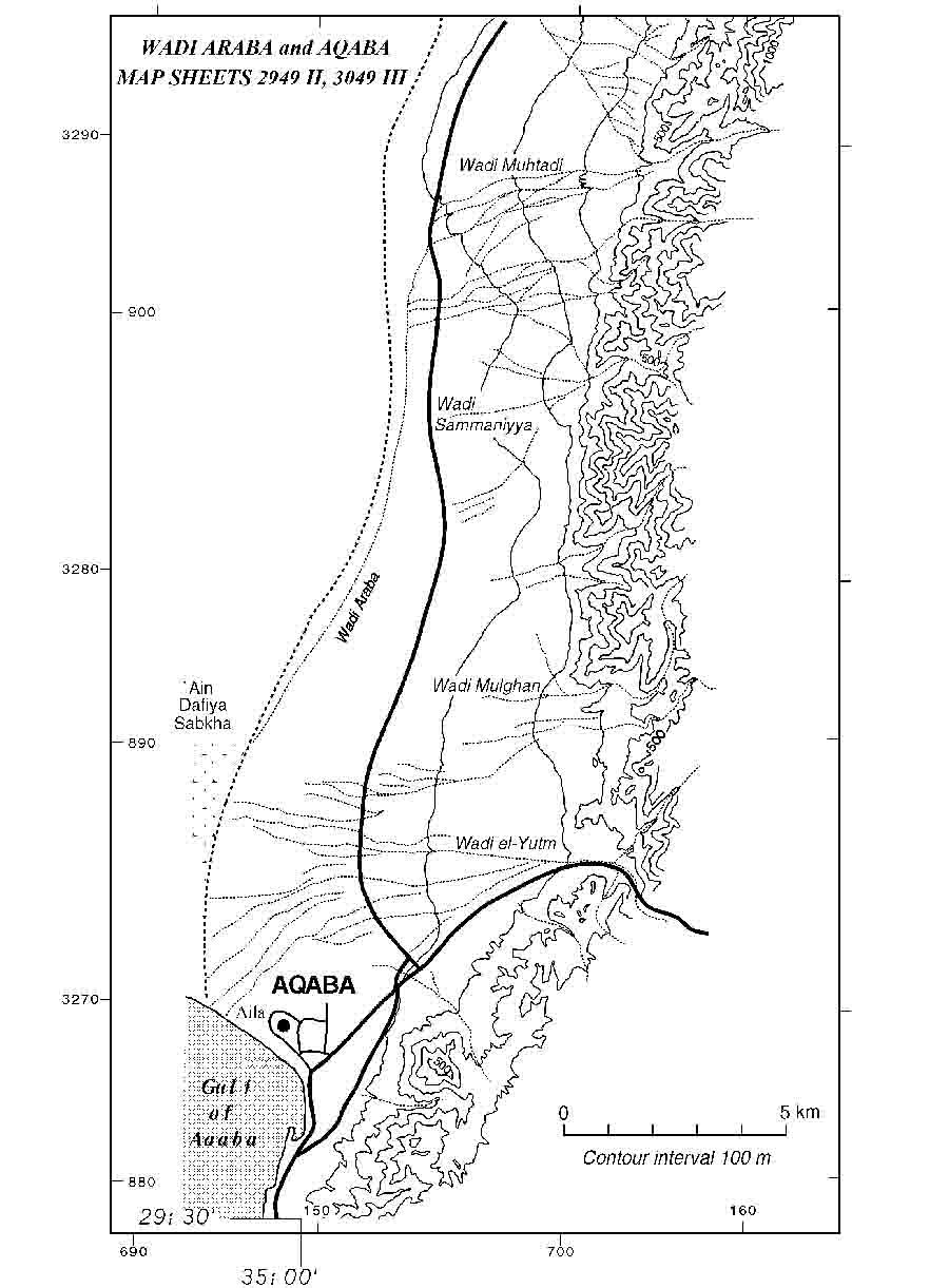
Southeast Araba Archaeological Reconnaissance
Prior to 1993, there were virtually no archaeological investigations of the southeast sector of Wadi Araba (figs 1-3). Only a limited number of sites with substantial remains had been documented beforehand by various scholars, which meant that this region was terra incognita archaeologically. Therefore in 1993, with planning underway for the Roman Aqaba Project, the Southeast Araba Archaeological Reconnaissance was conducted from June 12 to June 22 in the southeast Araba (Smith and Niemi 1994). The reconnaissance was in essence a feasibility study with four specific objectives: 1) to study the natural environment, including the geomorphology, hydrology, climate, flora, and fauna of the region; 2) to assess the cultural landscape by visiting the few known archaeological sites in the region; 3) to document new archaeological sites in the area based on accounts of past explorers; and 4) to assess the feasibility of a more intensive survey of the southern )Araba as a component of the Roman Aqaba Project.
Southeast Araba Archaeological Survey
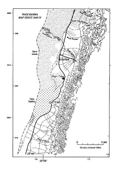
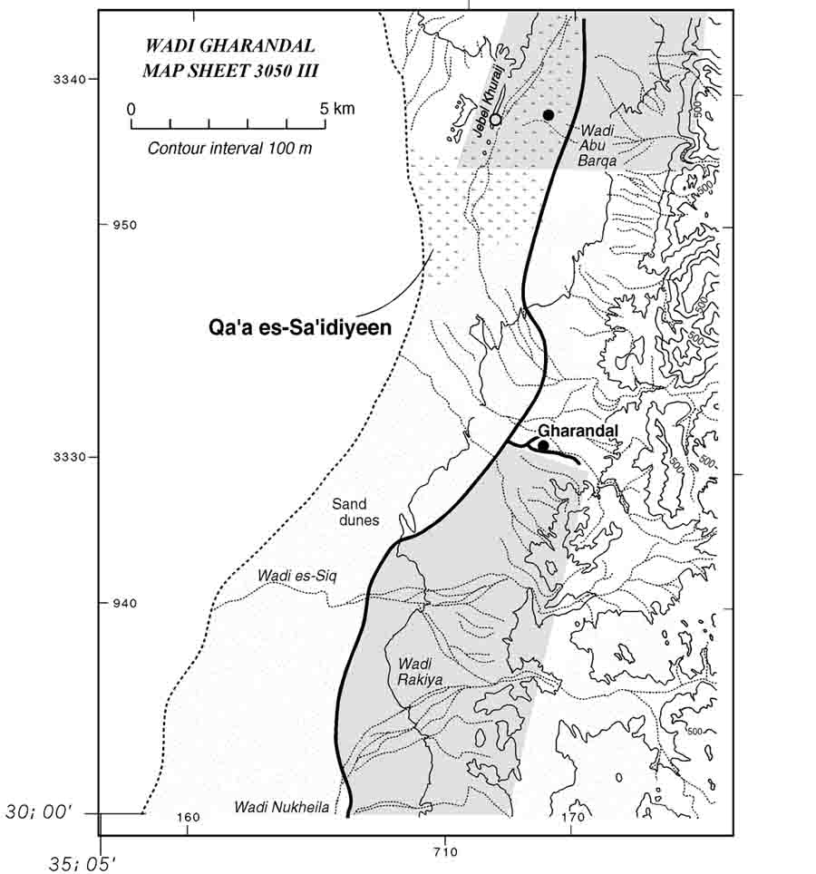
The Southeast Araba Archaeological Survey (SAAS) commenced in 1994, with additional seasons in 1996 and 1998 (Smith et al. 1997; Parker 1998: 375-76; 2000: 374-75). As a unit of the Roman Aqaba Project, the SAAS was formulated to study the hinterland of Roman Aila, including one of the principal land routes extending north from the city. The primary goal was to reconstruct the cultural landscape through discovery and documentation of ancient sites in the region and by study of the natural environment. The goal was to gain greater understanding of human history in the valley and place the history of Aila in a broader regional context. Above all, it was hoped that the survey would aid in reconstructing the economic relationship between Aila and its hinterland.
The SAAS recorded 330 sites in three field seasons. The sites range in date from the Palaeolithic to
the Ottoman periods, and range in type from artifact scatters and simple pastoral
encampments to elaborate village sites. In
essence, the evidence discovered during the survey of the southeast Wadi Araba illustrates
the complex history of human settlement activity in the region. Although the study area was not surveyed in its
entirety or intensively in all areas, there was sufficient coverage to project a range of
activity over time. The data does serve a
functional purpose in that it reveals to historians and archaeologists that the Araba is
more than a simple no-man’s land and certainly not the “abomination of
desolation” once described. Within the
parameters of the objectives of the Roman Aqaba Project, the data also illuminate the
nature of the hinterland of a Roman port city on the
copyright ©1996 Wadi Araba Archaeological Research Project
Most recent update: 7/10/07
For more information contact amsii@hotmail.com