|
|
Wadi Araba
in Maps and Images
The Cartography of Wadi Araba
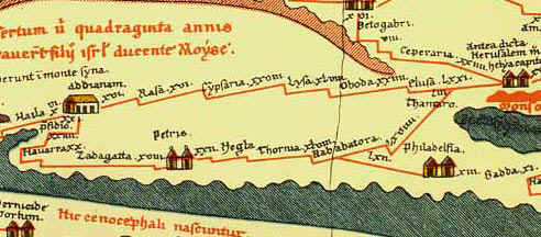 |
Tabula Peutingaria - Oldest existing
map showing road systems in southern Jordan and Israel.
- For more
information, see... |
|
|
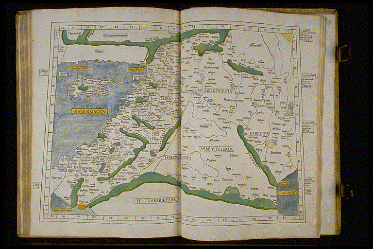 |
Map of Ptolemy, Harry Ransom Humanities Research Center -
For more information,
see... |
|
|
 |
Map of Ptolemy, British Library Board - For more information, see... |
|
|
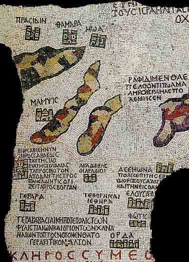 |
Madaba Mosiac Map depicting Wadi Araba and the Negev - For more information,
see... |
|
|
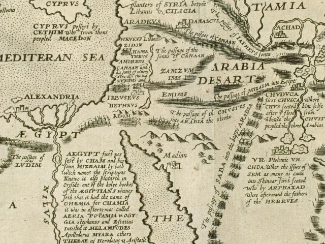 |
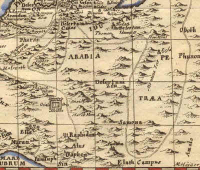
Map of Middle East, William Hole, 1614(?) - Note the
disorientation of the mountains of Edom and the lack of recognition of Wadi Araba.
- For more
information, see... |
|
|
 |
Lvmen historiarvm per orientem, Franciscus Haraeus, 1624 -
Note the lack of geographical accuracy.
- For more
information, see... |
|
|
 |
Map of Turkish Empire, John Speed, London 1626 - Note
the lack of geographical accuracy.
- For more
information, see... |
|
|
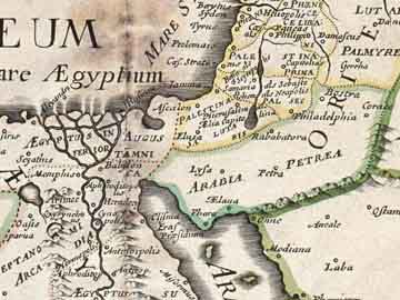 |
Romani imperii qua oriens est descriptio geographica, Nicolas Sanson, 1637
- Note the lack of detail, only Elana (Aqaba) in the Wadi Araba
is identified.
- For more information, see... |
|
|
 |
Palestina, siue Terrć Sanctć descriptio, Jan Jansson, 1650
- Note the unusual detail, the Wadi Araba is not identified.
- For more information, see... |
|
|
 |
Map of the Middle East, Frederik de Wit,
1662 - Note the characteristic lack of detail; the
Araba is not identified.
- For more information, see... |
|
|
 |
Map of the Middle East, Vincenzo
Coronelli, 1680 - Note the geographical
inaccuracies, especially in the depiction of the Sinai; there is no indication that Wadi
Araba was known.
- For more information, see... |
|
|
 |
Totius Terrae Sanctae delineatio,
Philipp Cluver, 1686 - Note again the geographical
speculation.
- For more information, see... |
|
|
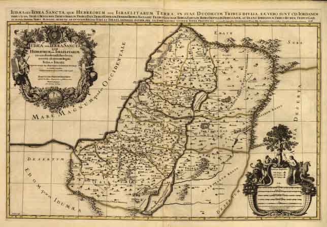 |
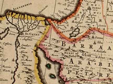
Iudća seu Terra Sancta, Alexis Hubert Jaillot, 1696 -
Note that the area south of the Dead Sea is regarded as deserted.
- For more information, see... |
|
|
 |
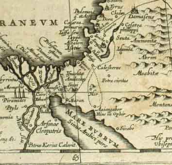
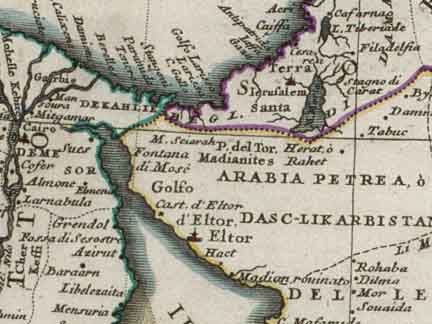
Map of the Red Sea, Carsten Niebuhr, 1762 - Note that
Niebuhr never explored inland so the Araba does not appear on his map
- For more
information, see... |
For a good collection of maps depicting the Near East under Ottoman rule
(though the images are not expandable), see:

|
|
Satellite Images of the Araba and Near East
 |
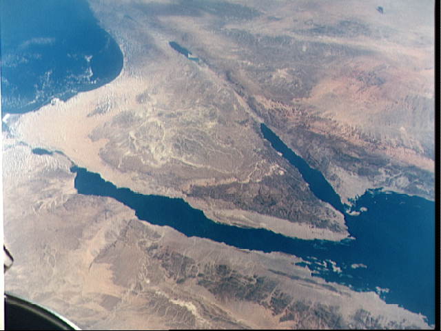
Image of Gulf of Aqaba and Sinai Peninsula from Apollo 7 |
 |
Image of Gulf of Aqaba and Sinai Peninsula from Gemini 11 |
 |
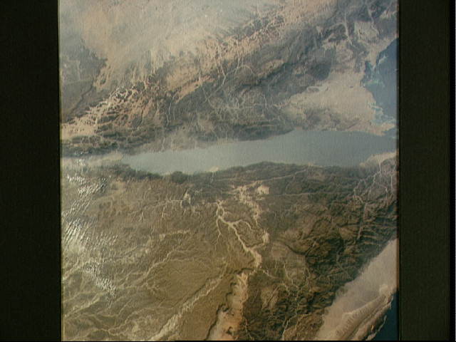
Satellite Image of Gulf of Aqaba |
Wadi Araba from Humeima:
A Brief Photographic Journey through Wadi Aheimar
All photographs (c) 1995, AMSIImages
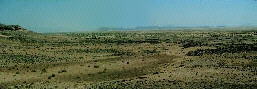 |
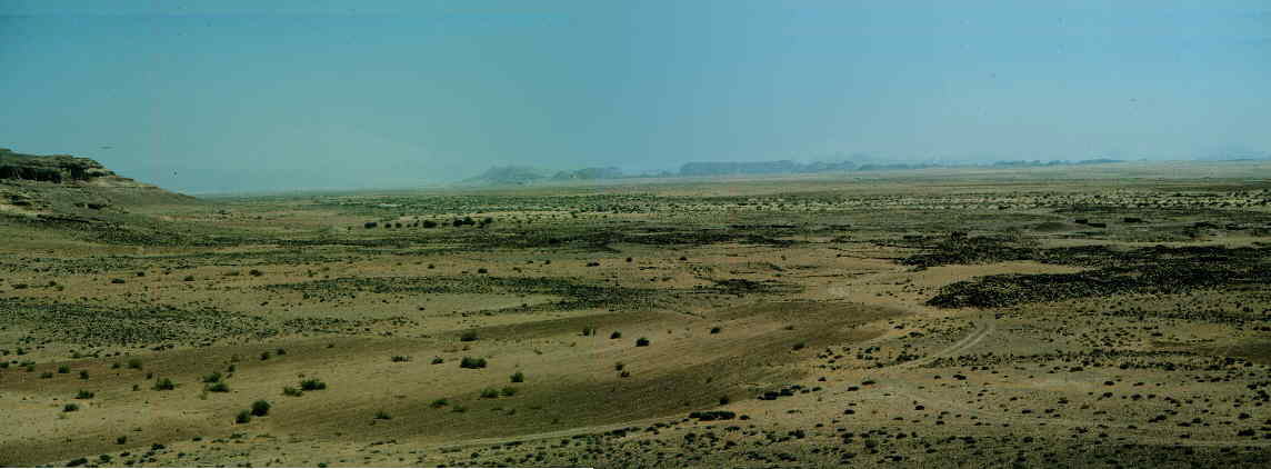
Panoramic View of Humeima from the West (Landscape Photo) |
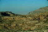 |
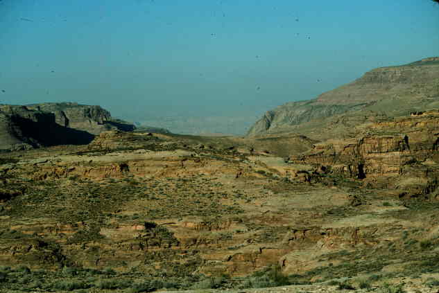
Approach to Wadi Aheimar |
 |
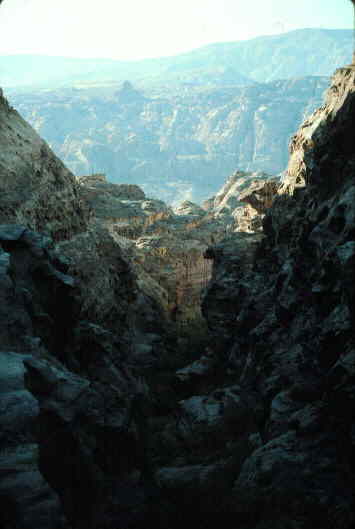
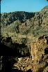
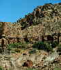
A Difficult Descent into Wadi Aheimar |
 |
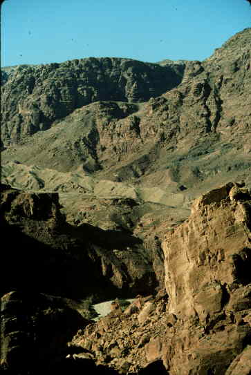
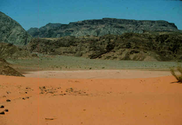
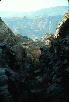
Scenic view from Wadi Aheimar |
 |
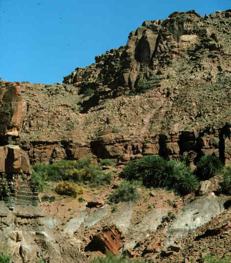
Oasis in Wadi Aheimar |
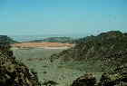 |
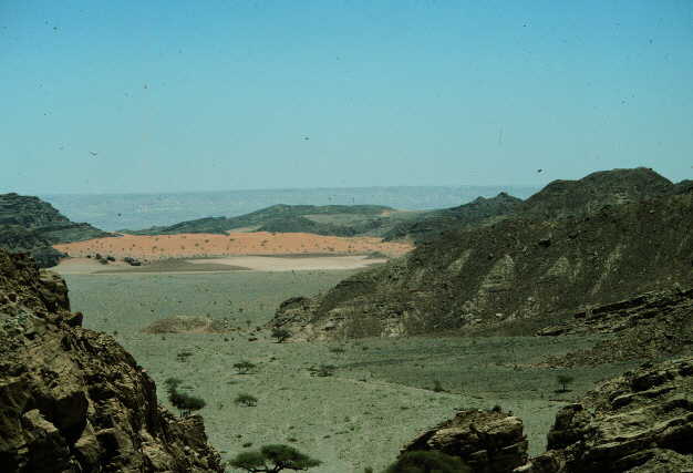
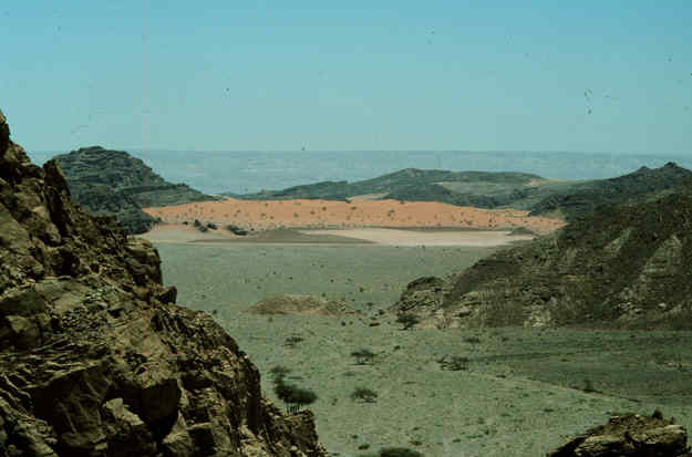
Approach to Wadi Araba: Part 1 |
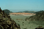 |
Approach to Wadi Araba: Part 2 |
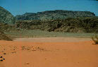 |
Approach to Wadi Araba: Part 3 |
|
|
|